Sorting
Source
Katalog księgozbioru
(1)
Form of Work
Mapy
(1)
Status
unknown
(1)
Branch
Czytelnia dla Dorosłych
(1)
Year
1920 - 1929
(1)
Time Period of Creation
1901-2000
(1)
1914-1918
(1)
Country
Germany
(1)
Language
German
(1)
Subject
Drogi
(1)
Subject: time
1901-2000
(1)
1918-1939
(1)
Subject: place
Poznań (woj. wielkopolskie ; okolice)
(1)
Genre/Form
Mapa drogowa
(1)
Domain
Geografia i nauki o Ziemi
(1)
1 result Filter
Map
In basket
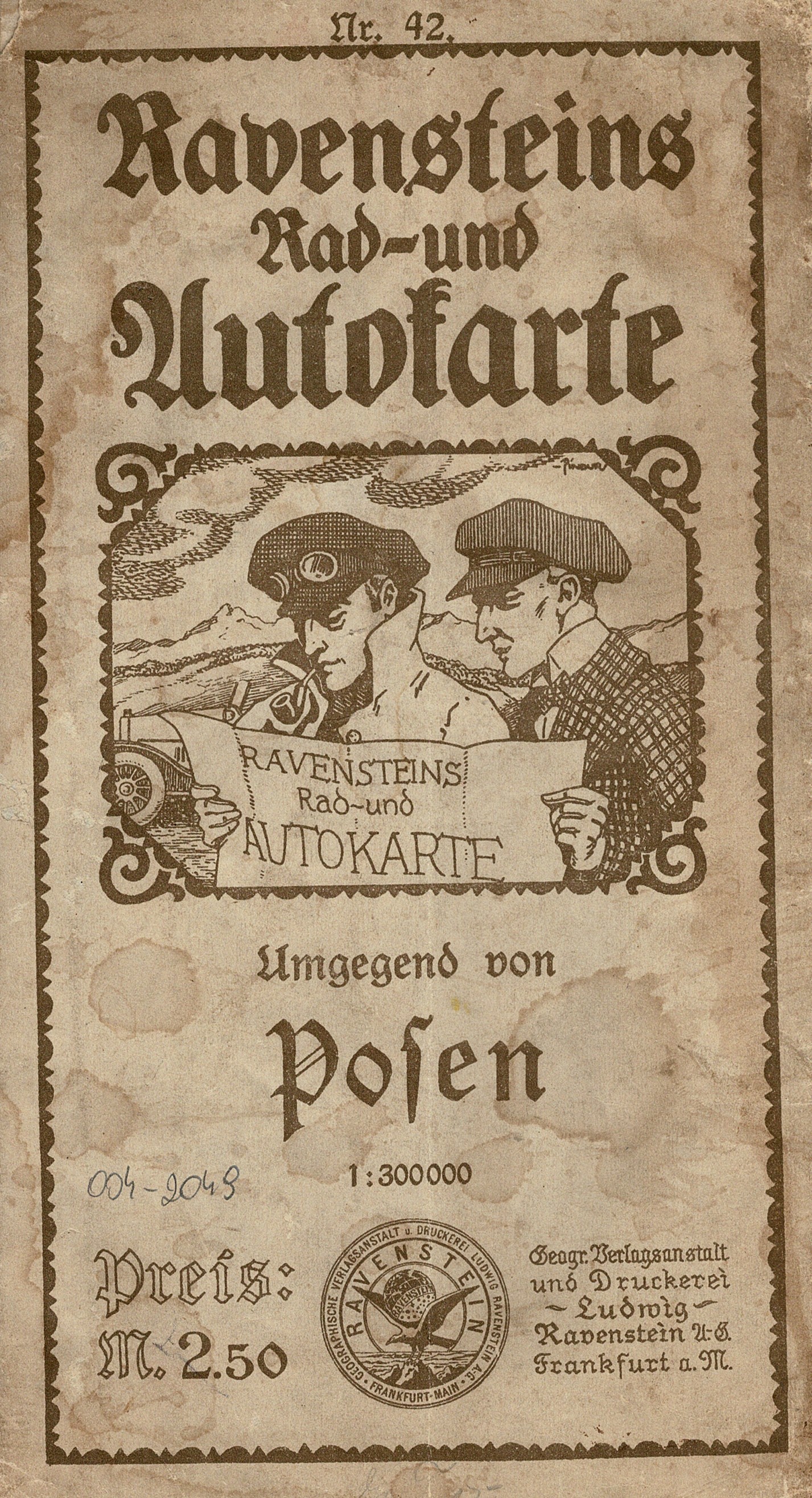
(Ravensteins Große Rad- und Autokarte ; Nr. 42)
Tytuł panelowy.
Data wydania według Deutsche Nationalbibliothek.
Rzeźba terenu: kreskowanie, punkty wysokości.
Nad górną ramką z prawej: Geographische Verlagsanstalt u. Druckerei Ludwig Ravenstein A.G., Frankfurt a/M., Wielandstr. 31.
Na mapie oznaczony kilometraż.
Na tylnym panelu skorowidz: Ravenstein's Große Ravenstein's Rad- und Autokarte 1:300 000 u. 1:500 000.
This item is available in one branch. Expand information to see details.
Czytelnia dla Dorosłych
Brak informacji o dostępności: sygn. Zb.S. K-2049 (1 egz.)
The item has been added to the basket. If you don't know what the basket is for, click here for details.
Do not show it again